Every month, OR&R’s Emergency Response Division provides scientific expertise and services to the U.S. Coast Guard on everything from running oil spill trajectories to model where the spill may spread, to identifying possible effects on wildlife and fisheries and estimates on how long the oil may stay in the environment. We also get requests to track and model other floating objects.
So far this year, OR&R has provided support to 121 incidents. In September 2022, OR&R provided response support to 19 incidents, including 10 new incidents in nine different states.
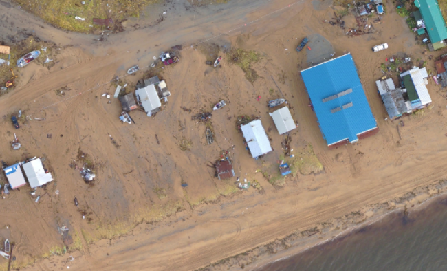
The new incidents were seven actual or potential oil spills, two severe storms (Bering Sea, Alaska, and Hurricane Ian in Florida), and one plane crash in Washington State.
Staff prepared 101 new incident reports and documents, including nine fate and trajectory analyses. Cumulatively, these incidents posed an approximate risk of more than 100,000 gallons of oil. (Note: Spills from Hurricane Ian and the Bering Sea Storm are not included as they are still being tabulated. All spill volumes are approximate and based on initial information that may be updated after further investigation.)
Here are some of September's notable incidents:
Seaplane Went Down in Mutiny Bay Near Whidbey Island, Washington
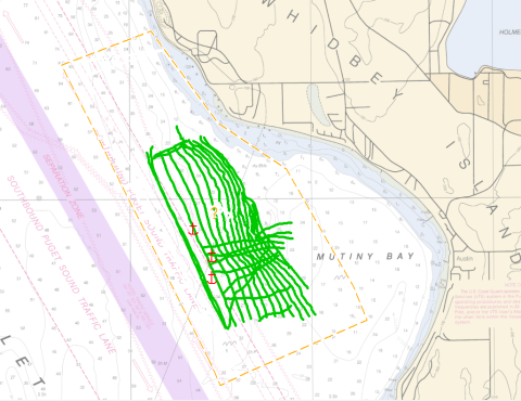
In the afternoon of Sept. 4, a seaplane went down on the west side of Whidbey Island near Mutiny Bay, Washington. The plane reportedly had 10 people on board at the time of the incident. The National Transportation Safety Board requested NOAA’s Office of Response and Restoration run a trajectory model to narrow the search area for the plane.
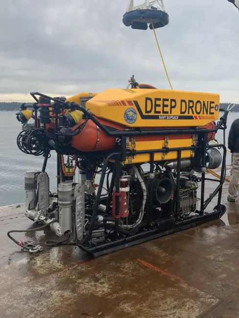
The National Transportation and Safety Board used a remotely operated vehicle (ROV drone) and a NOAA survey boat to conduct survey operations of the area.
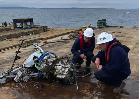
The wreckage was found the following week using side-scan sonar. The National Transportation Safety Board, U.S. Navy, and Island County personnel began recovery operations on Sept. 27.
Hurricane Ian Post-Disaster Pollution Assessment Underway
On Sept. 28, Hurricane Ian made landfall near Cayo Costa in southwestern Florida as a dangerous, high-end Category 4 storm after plowing a path of destruction through the Caribbean. OR&R pollution support teams are responding to and initiating recovery efforts for the hurricane—a storm that left a path of destruction with damaging winds, severe flooding, and life-threatening storm surge.
Prior to the arrival of Hurricane Ian in Florida, OR&R’s Emergency Response Division embedded a NOAA scientific support coordinator in the U.S. Coast Guard Area Command in Miami, Florida to pre-identify natural resources that would be sensitive to debris and pollution.
Currently, OR&R is tasked with supporting the Coast Guard’s post-disaster pollution assessment. The objective of this assessment is to identify locations of oil and hazardous material releases or debris posing threats to life, safety, the environment, and/or maritime transportation systems, and to provide, update, and maintain that data.
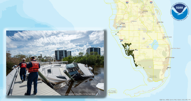
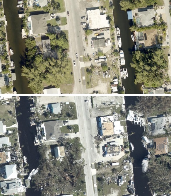
OR&R has now completed its imagery assessment—a monumental task that was completed in record time—which will greatly assist the Coast Guard in documenting owners of displaced vessels and in clearing them from the environment. The team assessed an area of approximately 2,215 square miles in three counties (approximately 277 square miles/day), identifying over 6,218 potential sources of pollution (about 770 targets per day).
The imagery has been ingested into OR&R’s online mapping tool, ERMA® (Environmental Response Management Application). ERMA is serving as a common operational picture available for all federal and state agencies involved in the response to view the most up to date assessment data (mapped pollution targets, assessment details, photographs, etc.).
Here is the complete list of September’s incidents, click on the links to find out more:
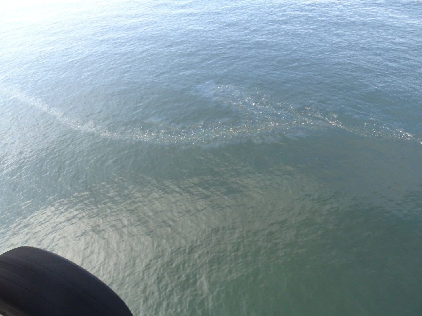
- Mystery Sheen off Old Orchard Beach, ME
- Lube Oil Spills into Bayou Casotte at Refinery, Pascagoula, MS
- 40-foot Vessel Sunk, Two Harbors, Santa Catalina Island, CA
- Seaplane Down, Mutiny Bay, Whidbey Island, WA
- Mystery Sheen, Depoe Bay, OR
- 40-Foot Cabin Cruiser Taking On Water, Tom's Bayou, Valparaiso, FL
- Towing Vessel Aground, Mile Marker 659, Mississippi River, Helena-West Helena, AR
- Remnants of Typhoon Merbok Damage Towns and Villages along Bering Sea Coastline, Alaska
- Anomaly Detected by Satellite West of Point Loma, San Diego, CA
- Hurricane Ian

