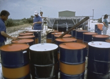
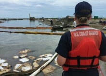
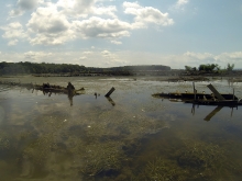
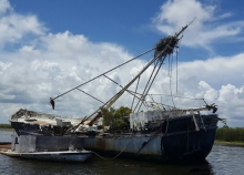
There is no one-size-fits-all approach to environmental assessments for oil spills or hazardous waste events. We must therefore custom-tailor our technical approach for each pollution incident.
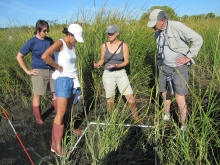
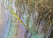
We first determine whether impacts to natural resources have occurred and whether it is appropriate to proceed with a Natural Resource Damage Assessment (NRDA). We collect time-sensitive data, evaluate available research and information about the type of injury, and determine what species and habitats are likely to have been affected. If we determine that habitats, wildlife or human uses have been harmed or could experience significant impacts, we often proceed with a full damage assessment.