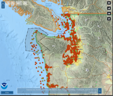
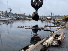
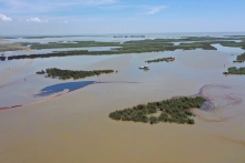
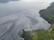
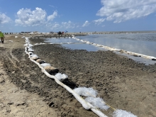
NOAA’s Office of Response and Restoration recently released the latest version of the Environmental Response Management Application (ERMA®). ERMA is a web-based mapping application used by environmental responders and natural resource decision-makers. During environmental disaster response and cleanup, it serves as the common operating picture for NOAA, the U.S. Coast Guard, and other state and federal agencies by providing a consolidated view of static and real-time information that enhances situational awareness, improves interagency collaboration, and streamlines decision-making. Check out key enhancements in the latest release, ERMA 5.6, including several improvements to bookmark views, dashboard features, and new drawing tool features.