
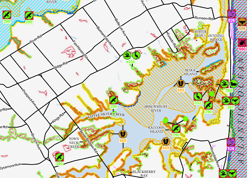
One of the challenges in any oil spill is the ability for spill responders to quickly evaluate protection priorities appropriate to the shoreline, habitats, and wildlife found in the area of the spill. Environmental Sensitivity Index (ESI) maps and data developed by NOAA’s Office of Response and Restoration (OR&R) provide spill responders with a concise summary of coastal resources that are at risk if an oil spill occurs nearby. Additionally, ESI maps can be used by planners—before a spill happens—to identify vulnerable locations, establish protection priorities, and identify cleanup strategies.
OR&R and its partners have recently updated much of the Atlantic Coast ESI data, and Geographic Information System (GIS) data are now available for these states and regions:
- Maine and New Hampshire
- Long Island Sound
- New York/New Jersey Metro area, including the Hudson River and South Long Island
- Chesapeake Bay, including Maryland and Virginia outer coasts
- North Carolina
- South Carolina
- Georgia
Maps in Portable Document Format (PDF) are currently available for South Carolina, Long Island Sound, Georgia, and the New York/New Jersey region. PDFs for the other regions listed will be coming soon, as well as PDF maps for the Washington/Oregon Outer Coast data published in late 2014. GIS data for Massachusetts/Rhode Island are currently under review and will be available soon.
More Information about OR&R’s ESI Mapping Work