By Mathew Dorsey and Laurie Sullivan
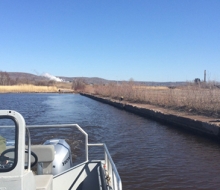
NOAA is constantly on the lookout for new ways to improve the speed and accuracy of the information we collect — for both oil spill response, and for the assessment phase that follows. In most spills, we search for the oil “footprint” on the water and shore via manned aircraft, boat surveys, satellite imagery, or deployed beach teams. Though they are capable of delivering good data, these methods can take half a day or more to deliver the imagery, data, or reports to spill responders and scientists.